Search Results
121 results found for:
fullspatial:United States North Carolina Wilson County (N.C.)
Currently viewing items 1 - 40
| Next |
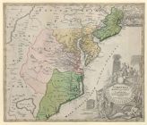
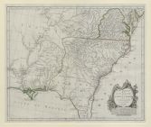
1597
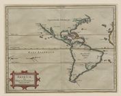
![Virginiae partis australis, et Floridae partis orientalis, interjacentiumq[ue] regionum nova descriptio](https://digital.lib.ecu.edu/encore\ncgre000\00000011\00010394\00010394.jpg)
![Virginiae partis australis, et Floridae partis orientalis, interjacentiumq[ue] regionum, nova descriptio](https://digital.lib.ecu.edu/encore\ncgre000\00000011\00010393\00010393.jpg)


1775

Currently viewing items 1 - 40
| Next |